


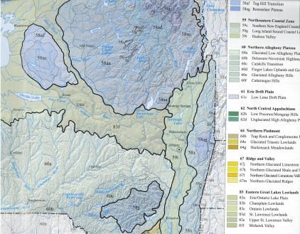
Hot off the (digital) press: New maps of New York State's various eco-regions for use with GIS mapping software, thanks to a group effort by the EPA, DEC, USGS, NRCS, and the mercifully acronym-free New York Natural Heritage Program.
They're free to download from the EPA's website -- and if you want printed versions, they're just $10. New York Flora has the details.
Topics:


